The Creek
|
The Creek
|
|
| Home | Neighborhood | Committees | Kids | Contacts | Archives |
|
Sawyer's Creek from Satellite! 2005.04.06 Under principles of Fair Use, this article includes a copyrighted image as illustration of article content. No infringement of the copyright is intended. Google has acquired Keyhole, a company that makes satellite images available through the Internet. Google has incorporated Keyhole images in their map search function, available at http://maps.google.com. It allows a user to zoom down into a map - it defaults to a map view, but the user can switch to satellite view. Google is experimenting with this satellite feature and may decide to change or eliminate this feature, who knows? But for now, try it out! Below is a satellite photo of Sawyer's Creek. Apparently the latest image is from a few years ago, when many of today's houses were not yet built. Can you find your house? 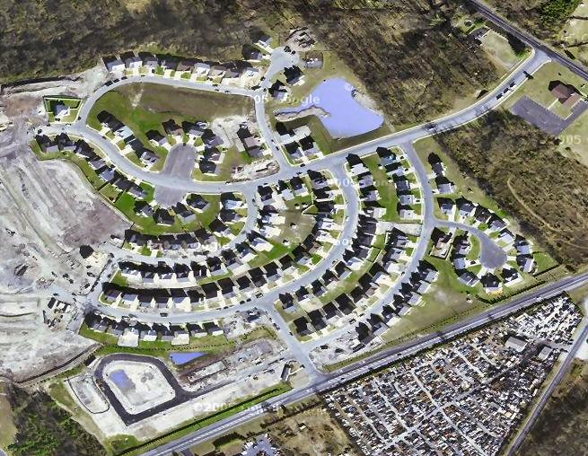
Image copyright © 2005, Google
Copyright © 2005, Sawyer's Creek Homeowners
Association. All rights reserved.
|